AIRBORNE LIDAR · PHOTOGRAMMETRY · ANGOLA
Mapping Angola in millions of points
H3 LiDAR Service delivers survey-grade airborne laser scanning and large-format aerial imaging, turning terrain into precise, decision-ready 3D data.
Peak imaging resolution
Flagship survey systems
Level positional accuracy
Provinces we can deploy to
WHO WE ARE
Precision from above, built in Luanda
H3 LiDAR Service, Lda is an Angolan aerial survey company headquartered at the 4 de Fevereiro airport district in Luanda. We combine world-class RIEGL laser scanners, medium and large format photogrammetric cameras and precision GNSS-inertial navigation to capture terrain, infrastructure and assets at centimetre level.
From mining concessions and power corridors to coastal zones and growing cities, our crews plan, fly, process and deliver point clouds, orthophotos, terrain models and CAD-ready mapping anywhere in Angola.
WHAT WE DO
Services
Topographic LiDAR surveys
Dense, classified point clouds for engineering, design and land management, captured with RIEGL airborne sensors.
Photogrammetry & orthophotos
True-colour orthomosaics and 3D meshes from 102 to 150 megapixel medium and large format cameras.
Corridor & powerline mapping
Long-range acquisition for transmission lines, roads, rail and pipelines, with vegetation encroachment analysis.
Digital terrain & surface models
DTM, DSM and contour products for hydrology, flood modelling, urban planning and construction.
Mining & volumetrics
Stockpile volumes, pit progression and concession-wide baseline mapping with repeatable accuracy.
Crewed survey aircraft
Every mission flies on crewed survey aircraft with professional flight planning, covering large areas fast, safely and beyond any drone's reach.
THE FLEET
Our equipment
Every mission pairs a laser scanner, a camera and a navigation system chosen for the job.
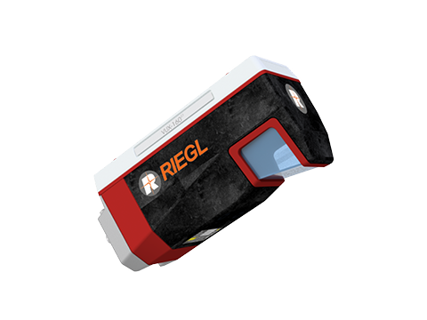
RIEGL 160
Survey-grade airborne laser scanner with high pulse rates and multi-target capability, producing dense, clean point clouds.
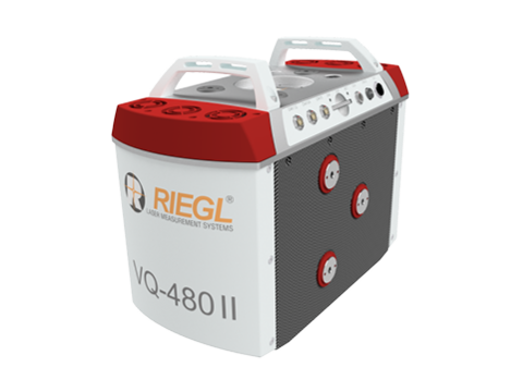
RIEGL 480
Long-range airborne LiDAR for higher-altitude, wide-area acquisition ideal for corridors and regional mapping.
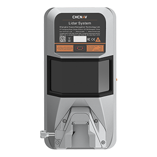
CHCNAV AA15P
High-precision GNSS-inertial system giving centimetre-level position and orientation to every pulse and pixel.
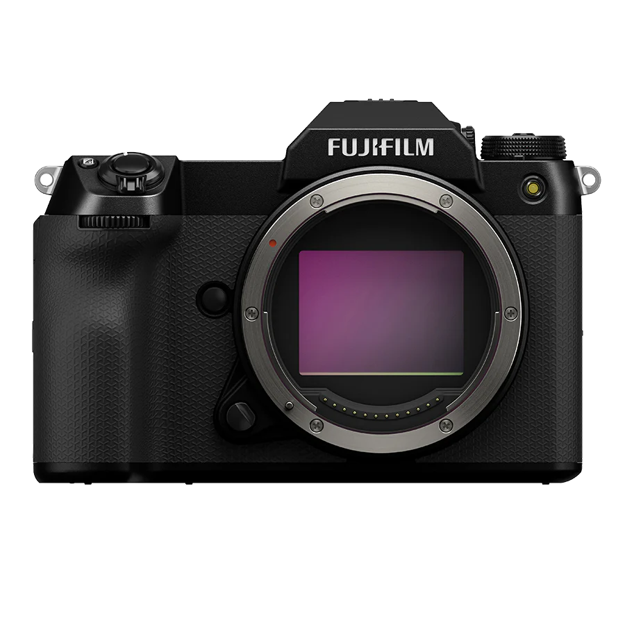
Fujifilm GFX 100S
102 MP medium format sensor for crisp aerial imagery, orthophoto production and photorealistic texture mapping.
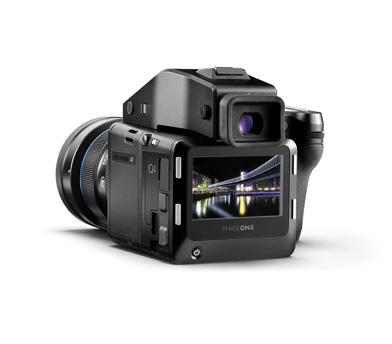
Phase One 150 MP
The industry benchmark for aerial photogrammetry 150 megapixels of large-format mapping power.
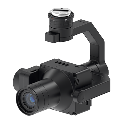
Riebo R10 Pro
Compact LiDAR system for fast, flexible deployments over sites of any size, on short notice.
GET IN TOUCH
Let's map it
Headquarters
Rua Avenida 21 de Janeiro, Hangar n.º 4
Bairro Aeroporto 4 de Fevereiro
Maianga, Luanda Angola
Company registration
H 3 LIDAR SERVICE, LDA
NIF 5002766396